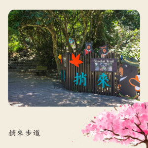
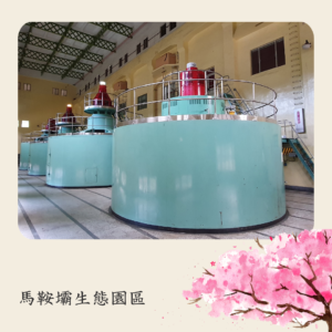
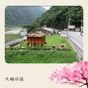
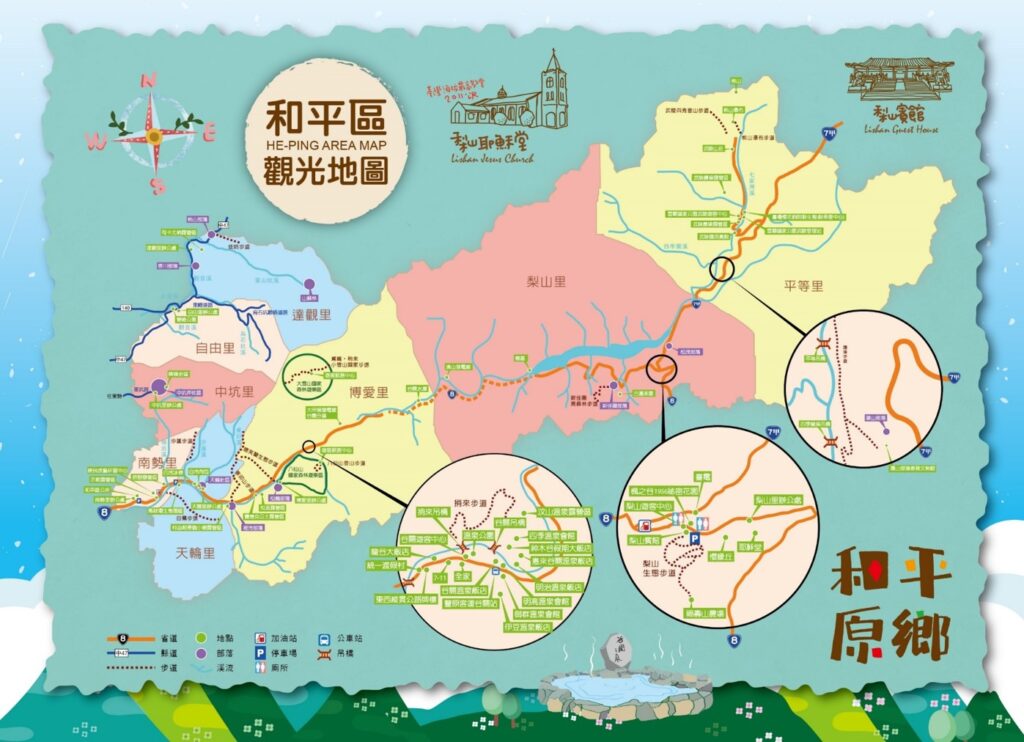
Heping District is located in the northeast corner of Taichung City, covering an area of 1,037.8192 square kilometers, making it the largest administrative district in the city. It is divided into eight villages: Pingdeng, Lishan, Bo’ai, Tianlun, Nanshi, Zhongkeng, Ziyou, and Daguan.
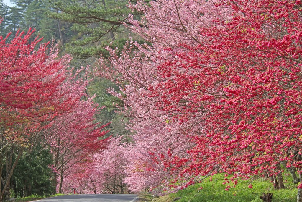
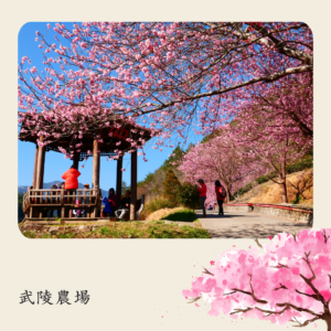
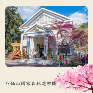
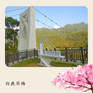
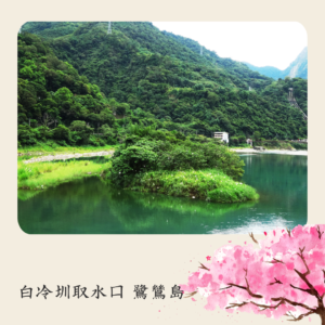
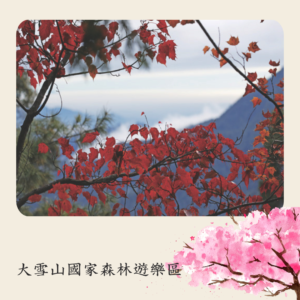
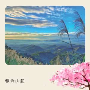
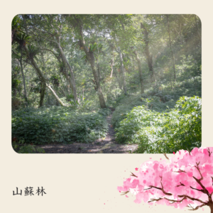
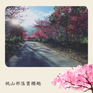
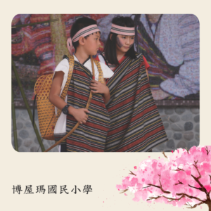
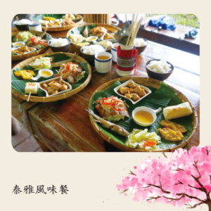
Nestled in the mountains, Heping District is an Atayal indigenous territory. To the north is the Xueshan Mountain Range, to the south are Hehuan Mountain and Dayuling, to the east it borders Yilan County and Hualien County, and to the northwest, across the Daan River, it faces Miaoli County. The entire area is surrounded by lush mountains and forests, with cool and pleasant temperatures throughout the year. The changing seasonal landscapes offer different charm and beauty, and its magnificent mountains and rivers are among the best in Taiwan. It is widely recognized as a popular summer resort and is known domestically and internationally as the “Little Switzerland of the East.”
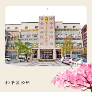
Heping District was originally inhabited by the Atayal indigenous people and had a low population density. During the early Japanese colonial period, it was part of Dongshi District and designated as a mountain indigenous administrative region. Civil administration, education, health, and other services were managed by the police. Later, the area was divided into three external districts, with residents forcibly relocated for political control. After World War II, the Nationalist government incorporated the area into Taichung County and named it “Heping.” After the merger of Taichung County in 2010, it became a sub-district office for four years. In 2014, following amendments to the Local System Act, the district was granted local autonomy as an indigenous district within Taichung City, with elected district chiefs and representatives, making Heping the only autonomous district in the city.